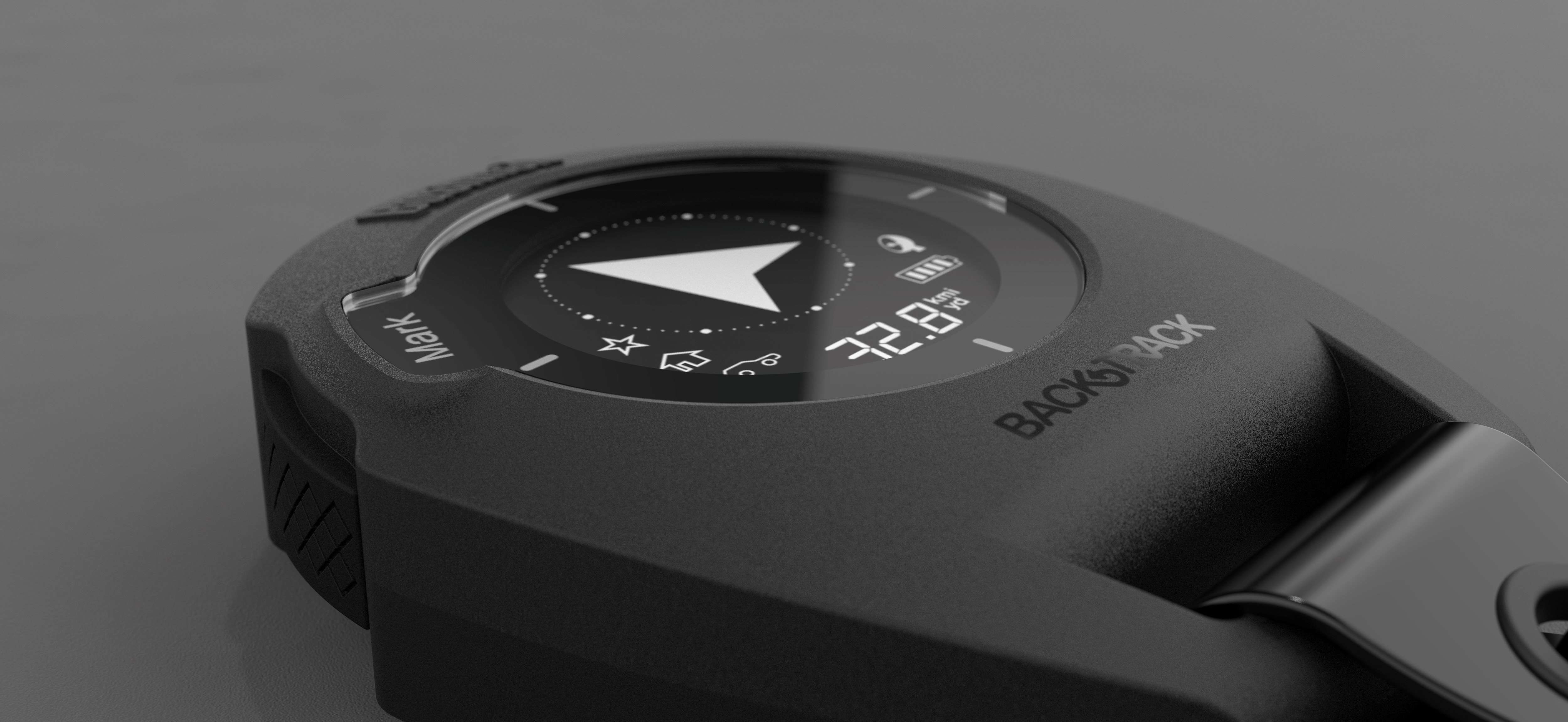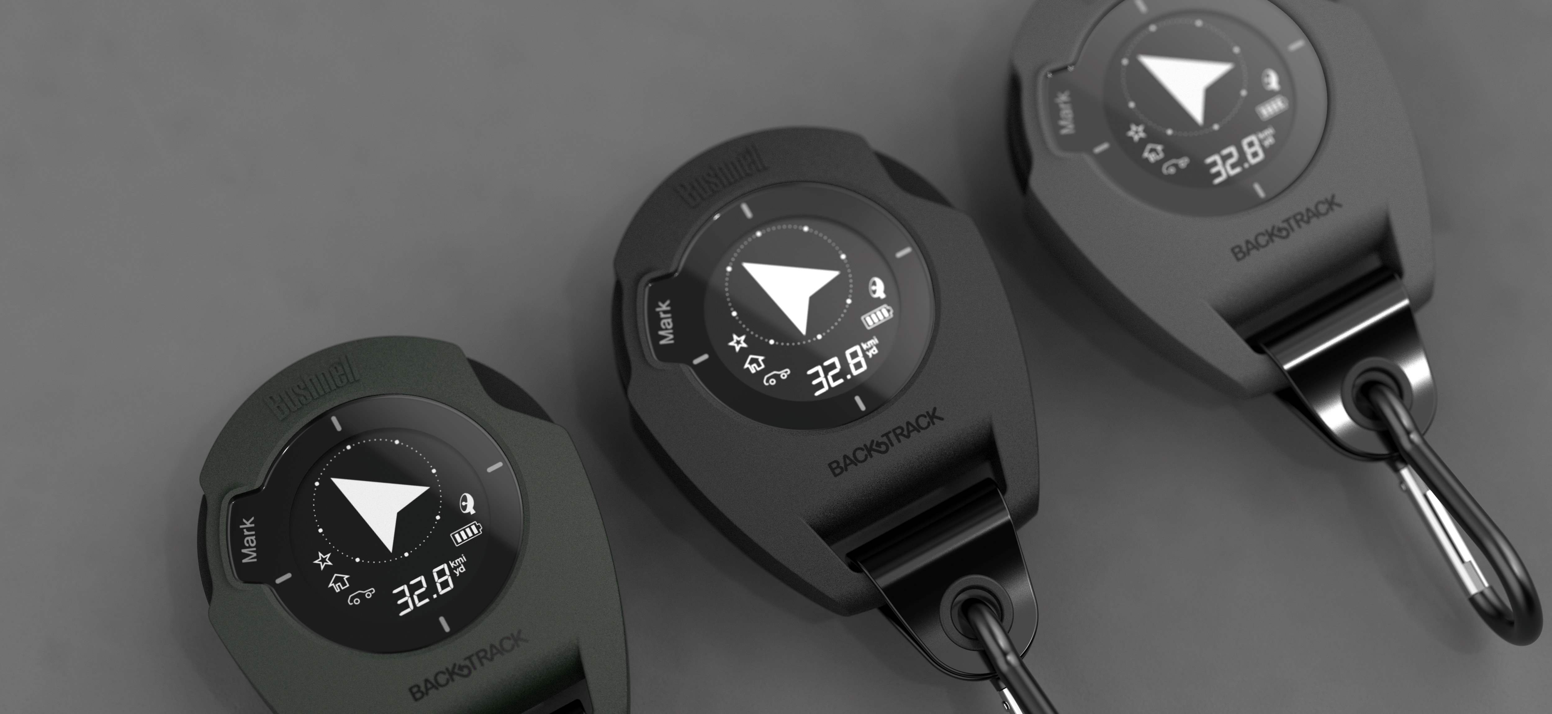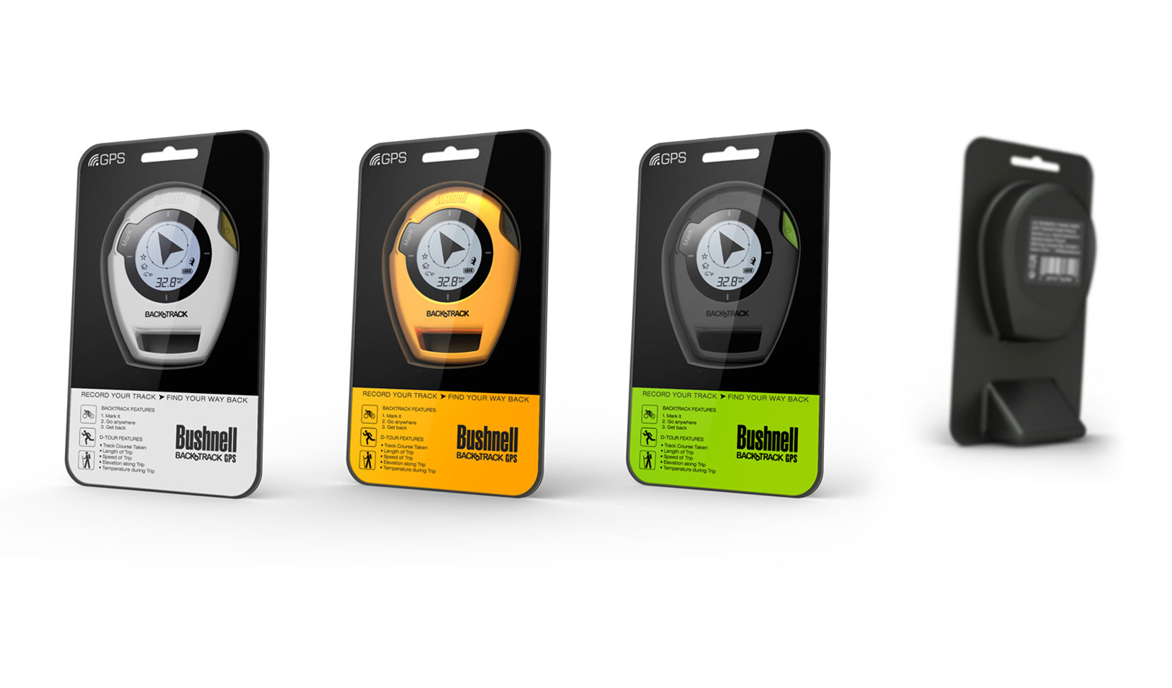


BACKTRACK G2 GPS
TREKKING SATELLITE GPS
YEAR
2013
CLIENT
BUSHNELL
SERVICE
PRODUCT DESIGN
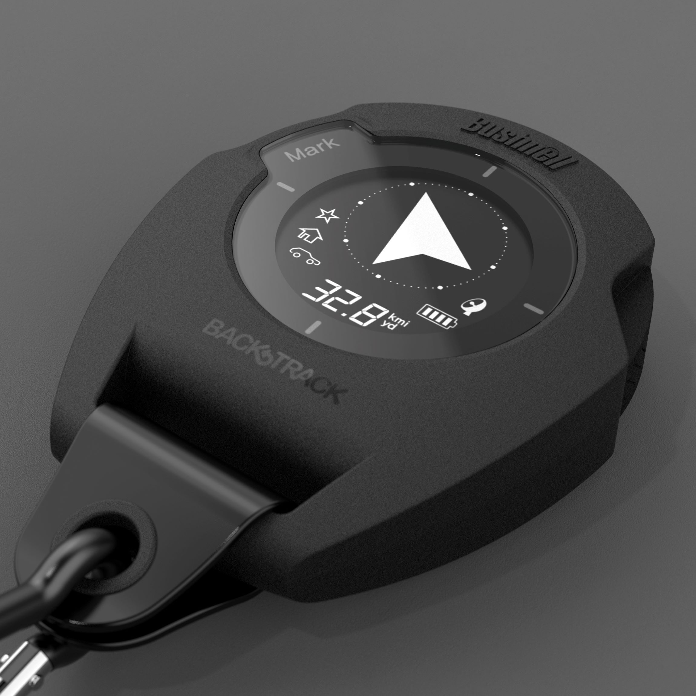
Ready for tough user
자연적으로 광활하고 산악지대인 미국에서, 이 제품은 위성을 이용해 트레킹 경로를 사용자에게 표시한다. 또한 이 제품은 야외 사용을 위해 디자인되어 방수 및 방진이 가능하다.
In the United States, which is naturally vast and mountainous, the product uses satellites to display trekking routes to users. It is also waterproof and dustproof, as it is designed for outdoor use.